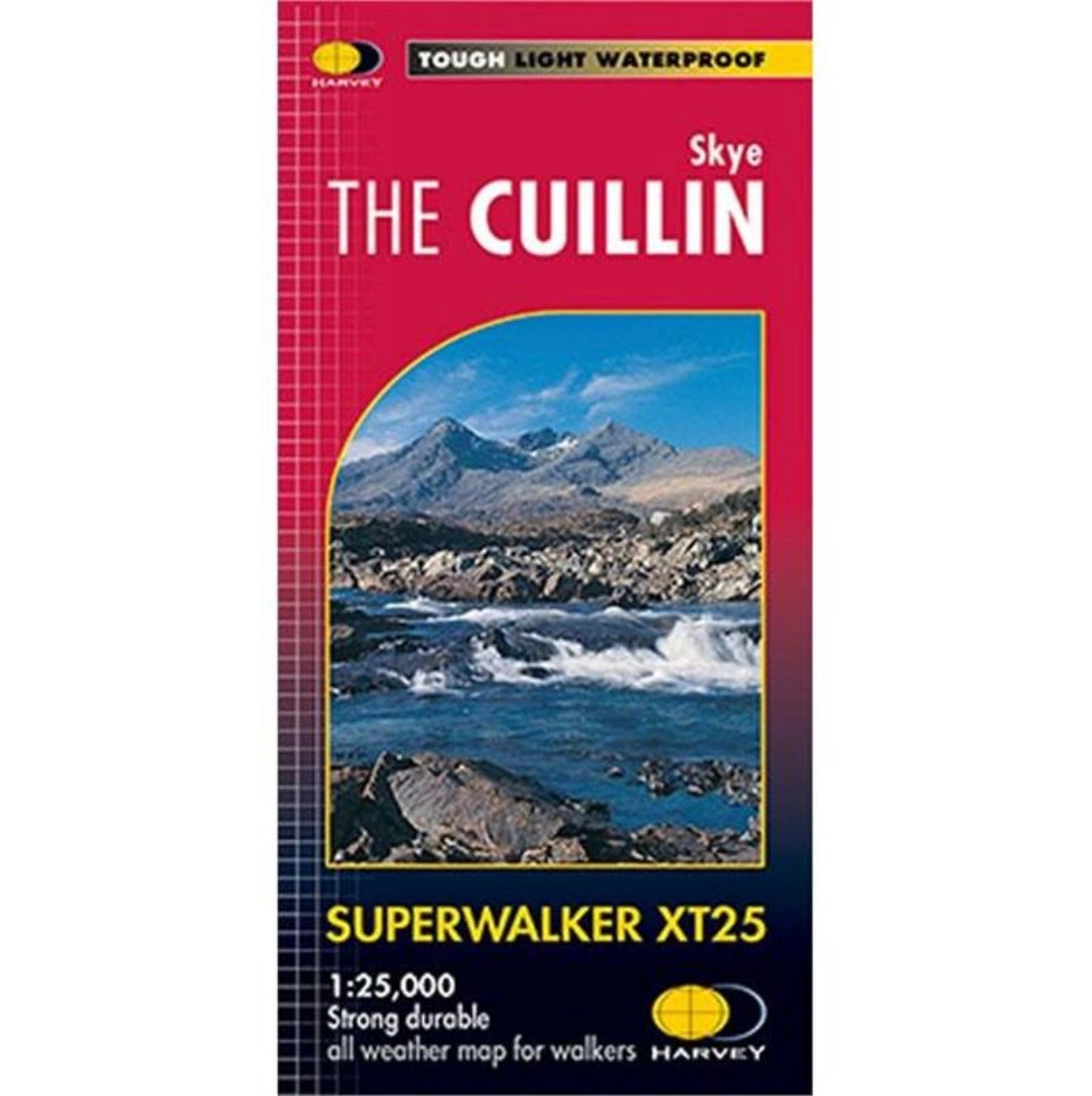
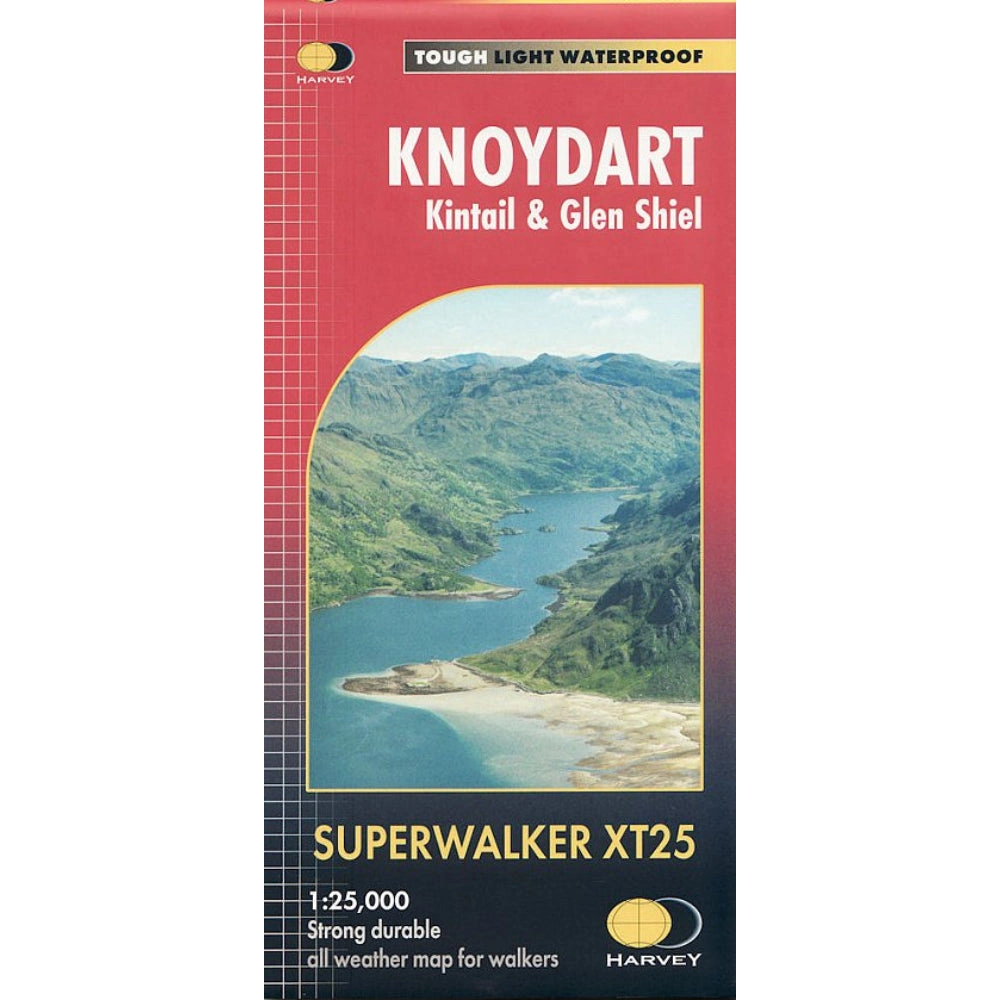
HARVEY Superwalker is designed to be the most practical tool for navigation outdoors. The Superwalker XT25 is based on original HARVEY mapping with all the information a walker would expect on a map at 1:25,000 scale.
Includes 12 Munros, 2 Corbetts and 5 Grahams all on one sheet. Ridge enlargement at 1:12,500 and a ridge diagram showing routes across or off the Cuillin Ridge. Walls and fences on farmland are now shown.
Specification
- Manufacturer: Harveys Map 1:25
- Map Area: Scotland West
- Scale: 1:25000
- Printed on polyethelene (strong, durable and 100% waterproof)
- GPS Compatible
- Includes pubs and cafes for the end of the day, plus Bothies
Related Collections
- If this isn't the right area, check out our full Harveys Map Collection
- Or for our full range of Scottish maps including OS, check out our Scottish Maps Collection